

Northumbria University is expanding and enhancing the support it provides to students receiving…
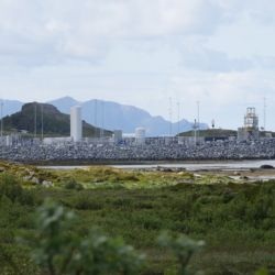
A Northumbria University academic is helping to ensure the UK’s ambitions to build a thriving…
Scientists have found evidence that the Asian continent was free of permafrost all the way…

Northumbria University has been named Higher Education Institution of the Year at a prestigious…
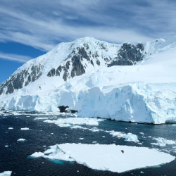
A glacier in Antarctica is committing “ice piracy” – stealing ice from a neighbour – in a phenomenon…
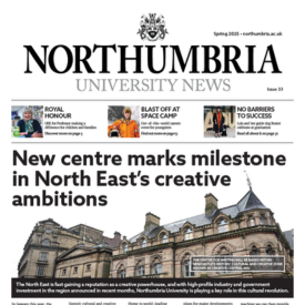
The Spring 2025 edition of Northumbria University’s newspaper is available to collect on campus…
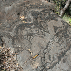
Analysis of fossilised rocks known as stromatolites from more than two-and-a-half billion years…
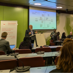
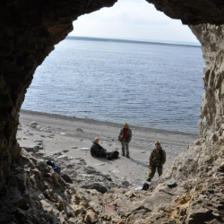
Volunteers play critical roles in responding to the multiple humanitarian crises facing the…
Lecture Theatre 002
-
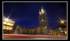
Newcastle Cathedral
-
Back to top
