
Any Questions?
Our Applicant Services team will be happy to help. They can be contacted on 0191 406 0901 or by using our Contact Form.
All information is accurate at the time of sharing.
Full time Courses are primarily delivered via on-campus face to face learning but could include elements of online learning. Most courses run as planned and as promoted on our website and via our marketing materials, but if there are any substantial changes (as determined by the Competition and Markets Authority) to a course or there is the potential that course may be withdrawn, we will notify all affected applicants as soon as possible with advice and guidance regarding their options. It is also important to be aware that optional modules listed on course pages may be subject to change depending on uptake numbers each year.
Contact time is subject to increase or decrease in line with possible restrictions imposed by the government or the University in the interest of maintaining the health and safety and wellbeing of students, staff, and visitors if this is deemed necessary in future.
Accessibility and Student Inclusion
Northumbria University is committed to developing an inclusive, diverse and accessible campus and wider University community and are determined to ensure that opportunities we provide are open to all.
We are proud to work in partnership with AccessAble to provide Detailed Access Guides to our buildings and facilities across our City, Coach Lane and London Campuses. A Detailed Access Guide lets you know what access will be like when you visit somewhere. It looks at the route you will use getting in and what is available inside. All guides have Accessibility Symbols that give you a quick overview of what is available, and photographs to show you what to expect. The guides are produced by trained surveyors who visit our campuses annually to ensure you have trusted and accurate information.
You can use Northumbria’s AccessAble Guides anytime to check the accessibility of a building or facility and to plan your routes and journeys. Search by location, building or accessibility feature to find the information you need.
We are dedicated to helping students who may require additional support during their student journey and offer 1-1 advice and guidance appropriate to individual requirements. If you feel you may need additional support you can find out more about what we offer here where you can also contact us with any questions you may have:
Latest News and Features

New partnership will bridge the gap and open doors for adult learners at Northumbria University
Northumbria University is launching The Bridge, a flexible route into higher education for…

Northumbria researcher takes Indian cinema legend to major international showcases
A Northumbria University academic curated a major retrospective of one of India's most influential…
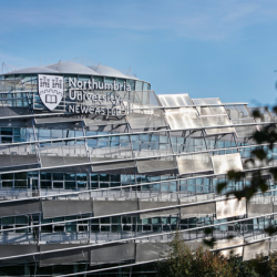
Northumbria University named among 35 founding members of Defence Universities Alliance
Northumbria has been selected as a founding member of the Defence Universities Alliance (DUA),…
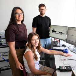
Researchers exploring hidden reasons women with MS struggle each month
Northumbria University researchers are calling on women to support a new study, which could…
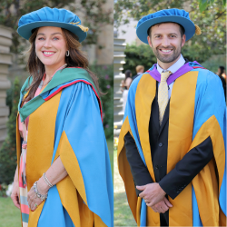
North East stars among leaders honoured by Northumbria University
Northumbria University is awarding honorary degrees to 14 distinguished individuals at its…

Creative talent shines as Northumbria celebrates 70 years of Fashion at Graduate Fashion Week
The creative skills of final year Fashion students from Northumbria University have once again…
Social
More events
Upcoming events
Restorative Just Culture Research Dissemination Event
Northumbria University
-

NU-NHSA Launch Event
Northumbria University
-
The Past We Inherit. The Future We Build: Better Decisions Happen Together
The Great Hall, Sutherland Building
-

Northumbria University Carol Service 2026
Newcastle Cathedral
-
